Set the dive list with the whole reef flat in front of you.

Coral Reef Mapping sorts your monitoring area into coral, algae, rubble and sand from shallow-water satellite imagery each season, and flags where the signature has moved toward whitening since the last pass. Your divers still go in. The map tells you where to send them first.

GSD
0.5–2 m (High)
Cadence
Seasonal
Platform
High-res satellite
Spectral
Multispectral

The job today

How the season's dive list gets made now

Before the season opens, the monitoring officer sits down with last year's results and decides which sites the dive team will visit and in what order. The boat days are booked and the divers are few, so the list is short. Transects and photo-quadrats give solid numbers on the sites the team reaches. Between those sites the reef flat goes unrecorded, and some sites only get a visit every few seasons.

Then a ranger or a tour operator rings to say a section near the point has gone pale. It comes with a rough position and no date. By the time a team is out there the coral may have recovered or it may not, and the officer has nothing from the previous season to compare it with. The annual report ends up with a column marked "not surveyed", and the sites the boat reaches are the sites that get described.
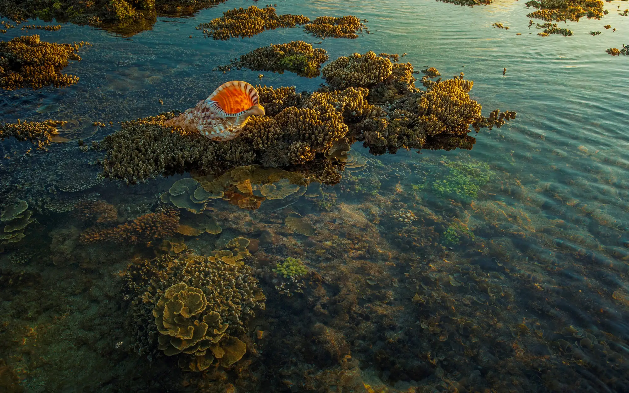
A reef flat at low water, coral heads and algae showing through clear shallow water in low evening light
Fig. 1. A reef flat at low water. From a boat, an officer sees the part of it under the hull.

This is where a seasonal map helps. It puts one consistent read of the whole shallow monitoring area beside the transect data, so the dive list is set with the reef flat in view and a whitening flag can point the first team at the right patch.

What you get

What comes back each season

One delivery per season for the monitoring area you draw. On a pilot, that is the pilot area.

2.1Reef cover mapGIS layer

Coral, algae, rubble and sand classified across the shallow reef flat, at the scale of a patch. It opens in QGIS or ArcGIS over your survey sites and zoning layer.

2.2Bleaching flag layerGIS layer

Places where the reflectance signature has shifted toward whitening since the previous season's pass. A flag marks somewhere to send a team. It is not a count of bleached colonies. The first delivery has no earlier season to compare with, so it is a baseline and carries no flags.

2.3Unclassified water maskGIS layer

Areas the pass could not read, such as deep water, turbid water, sun glare or cloud, are marked as unclassified instead of guessed at. Those parts of the reef stay on your in-water list.

2.4Monitoring exportGeoPackage

The layers above in a form your monitoring GIS opens, so they can sit next to your transect points.

  • coral
  • algae
  • rubble
  • sand
Fig. 2. Schematic. A cover map is drawn in patches. Individual colonies are smaller than the pixel and do not appear.

How it works

How a pilot runs

Step 1Area in

Draw your reef monitoring area, or send the boundary you already use. Mark which sites are in the pilot area.

Step 2Imagery

We source a clear-water, low-glare pass for the season over that area. If the first window is cloudy or choppy, the pass moves to the next clear one.

Step 3Classification

The shallow reef flat is classified into coral, algae, rubble and sand. Where a previous season exists, the two are compared for a whitening shift.

Step 4Delivery

The cover map, the flag layer and the unclassified mask. We agree the delivery date against your survey calendar at the start, then go through the flags with you on a call.

Where it fits

Before the season, between surveys, at reporting

Before the season, read the cover map next to last year's transects and decide which sites to dive first. If a flag sits over a site you did not plan to visit, move it up the list. Between surveys, it gives you a wide check on sites the boat cannot reach every season. At reporting, the seasonal record goes alongside the transect data as a wide view of the flat, and never in place of the transect numbers.

Limits

  1. The transect stays the ground truth

    Nothing here replaces an in-water survey. The classes are ours, for deciding where to look. Do not file this as a condition survey.

  2. Shallow, clear water only

    The pass reads the bottom where light reaches it. Deeper reef, and water stirred up by weather or runoff, will not classify reliably and comes back as unclassified.

  3. Resolution floor

    At 0.5–2 m a pixel is wider than most coral colonies. Cover is read as patches, so we cannot count colonies, name genera or species, or give a live coral percentage for a transect.

  4. A flag comes after the event

    The flag shows a signature that has already shifted since the last pass. It does not predict bleaching and it does not track a heat event as it happens.

  5. Whitening is a signature, not a diagnosis

    Bright sand, a tidal difference, glare or a changed depth of water can move the reflectance too. A flag needs a dive or a photo to confirm.

  6. Once a season

    One pass per season, timed to your survey calendar. A bleaching event that starts and ends between passes can be missed.

  7. Clear-window dependence

    Cloud, glare and chop can push a pass to the next clear window, which can push the delivery date too.

Who it's for

For

  • Marine park monitoring officers who set a seasonal dive list.
  • Reef research programme leads who want a wide view of the flat beside their transect data.
  • Teams responsible for shallow reef areas the boat cannot reach every season.

Not for

  • Anyone looking to drop in-water transect or photo-quadrat surveys.
  • Bleaching forecasts or early-warning alerts.
  • Real-time or event-triggered monitoring.
  • Deep or turbid reef.
  • Colony counts, species lists or live coral percentages.
  • Surveys that have to be certified for a permit or regulator.

FAQ

Questions before a pilot

Does this replace our transect surveys?

No. It ranks where to send the team first. The transect and the photo-quadrat stay the ground truth for any number you report.

How deep does it work?

It reads shallow, clear water where light reaches the bottom. Deeper or turbid reef flats will not classify reliably, and those areas are marked unclassified.

Can it warn us before a bleaching event?

No. The flag shows a whitening signature that has already appeared since the last pass.

How do we check it against our own data?

Pick a pilot area with recent transects and keep those results back. When the delivery lands, compare the classes and the flags with what your divers recorded, and decide whether it is good enough to plan with.

What happens when the water is cloudy or choppy?

The pass waits for the next clear window. Cloud, glare and turbidity are the usual reasons a season's delivery runs late.

How often is it updated?

Once a season, timed to your survey calendar. There is no continuous feed.

Will it load into our GIS?

It is delivered as GIS layers that QGIS and ArcGIS open. We don't write into your monitoring database.

Who owns the results and the imagery?

Ownership and licence terms for the layers and the underlying imagery are written into the pilot agreement before anything is ordered. If your legal team needs to see them, ask early.

How is a pilot bought and priced?

The quote depends on the size of the monitoring area and the imagery source, and we price it for your pilot area. Tell us how your programme buys services and we will scope the pilot to fit.

Tell us which reef area you would put in the pilot.

Send the monitoring area and when your next survey season opens. We will say plainly whether the imagery calendar can meet it.

Start a pilot